
Mourne Mountains (St Patrick's Way)
Your complete guide to planning a pilgrimage on the Mourne Mountains (St Patrick's Way)
Route photograph: Wikimedia Commons
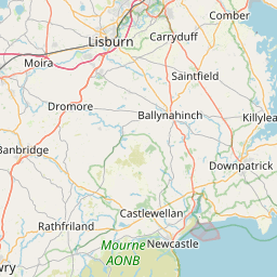

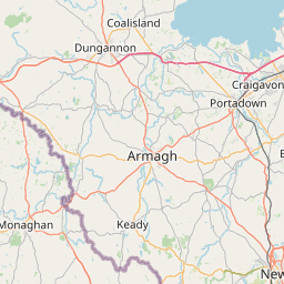



Plan your route
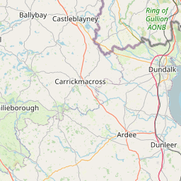
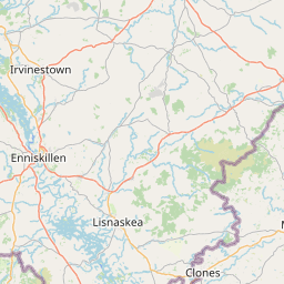
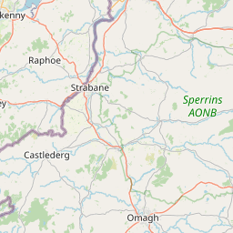
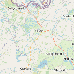
Click any brown pin on the map above and choose Add to your route to build your overnight stops, stage by stage.
Don't forget
A walk of this length (82 miles) is a real undertaking. Here is what you will need to stay safe and comfortable on the Mourne Mountains (St Patrick's Way).
Physical preparation
- Build up to the daily mileage in the weeks before — walk in the boots you will wear on the trail.
- Break in your boots thoroughly to avoid blisters; carry plasters and moleskin.
- Pace yourself — start each stage slowly and take short, regular rests.
Clothing & footwear
- Sturdy, waterproof walking boots with good ankle support.
- Moisture-wicking layers — a base layer, fleece, and a waterproof jacket.
- A hat and gloves even in summer — UK hill weather can change quickly.
In your day pack
- At least 1.5–2 litres of water per stage, plus high-energy snacks.
- A small first-aid kit, blister plasters, and any personal medication.
- Sunscreen and sunglasses — you will be exposed for hours at a time.
Navigation & safety
- Carry a printed route map and compass; do not rely solely on a phone.
- Keep your phone charged — a small power bank is worth its weight.
- Tell someone your planned route and expected arrival time each day.
Use us to plan your accommodation
Use Pilgrim Stays UK to find and book pilgrim-friendly places to stay along the Mourne Mountains (St Patrick's Way). For everything else — detailed route maps, GPX downloads, stage-by-stage guides and a community of fellow pilgrims — head to the British Pilgrimage Trust.
About this route
St Patrick's Way is an 82-mile pilgrimage through the heart of Northern Ireland, from Armagh — where Saint Patrick established his church — to Downpatrick, the saint's final resting place. The route passes through the breathtaking Mourne Mountains, where pilgrims can follow in the footsteps of Saint Patrick and his disciple Saint Donard, whose hermit's cell still crowns the summit of Slieve Donard, Northern Ireland's highest peak.
St Patrick's Way is an 82-mile (132km) pilgrimage route through the heart of Northern Ireland, connecting the ancient city of Armagh — where Saint Patrick established his church — to Downpatrick, the saint's final resting place at Down Cathedral. The route winds through some of Ireland's most breathtaking landscapes, including the majestic Mourne Mountains, which sweep down to the sea at Newcastle.
The Mourne Mountains section of St Patrick's Way offers a meditative journey through nature, following parts of the Ulster Way and Mourne Way through the foothills of Northern Ireland's highest peaks. The summit of Slieve Donard, the highest point in Northern Ireland, has a hermit's cell in the Great Cairn and an oratory in the Lesser Cairn, both constructed by Saint Donard — a disciple of Saint Patrick. CS Lewis, author of The Chronicles of Narnia, holidayed in the Mournes, and the location inspired his fictional landscapes.
Planning a Mourne Mountains (St Patrick's Way) pilgrimage
Planning a pilgrimage on the Mourne Mountains (St Patrick's Way)? This guide covers everything you need — when to go, how many days to allow, where to stay, how to get there and what to pack — so you can plan your Mourne Mountains (St Patrick's Way) walk with confidence.
When to go
The best months for planning a Mourne Mountains (St Patrick's Way) pilgrimage are May to September, when daylight hours are longest and the weather is most reliable. Book your accommodation well in advance, especially during school holidays and summer weekends when places to stay along the route fill up quickly.
How many days to allow
Most pilgrims allow 6–10 days to complete the 82 miles route. Plan an overnight stop at the end of each of the 6 stages, and consider adding a rest day if you are walking for more than four days. Use our Plan Your Route tool above to map out your stage-by-stage itinerary.
Booking accommodation
Use our Plan Your Route tool to browse and book pilgrim-friendly places to stay in Armagh, Newry, Newcastle, Downpatrick and along every stage of the Mourne Mountains (St Patrick's Way). Add accommodation to each stage of your itinerary, then book directly through Pilgrim Stays UK for integrated listings or contact the provider for directory listings.
Getting there and back
Plan your transport to the start in Armagh and your return from Downpatrick. Many pilgrims use public transport — check train and bus connections when planning your pilgrimage itinerary.
What to pack
Sturdy walking boots, waterproofs, a day pack, a water bottle, and layers for changeable British weather are essential for planning any UK pilgrimage. See our "Don't Forget" section below for a detailed packing checklist tailored to the Mourne Mountains (St Patrick's Way).
Highlights along the way
Sacred sites, historic churches and landmarks you'll encounter on the Mourne Mountains (St Patrick's Way).
Armagh Cathedral
Newry Canal towpath
Rostrevor and Carlingford Lough
Mourne Mountains
Slieve Donard summit
Newcastle and Royal County Down
Murlough National Nature Reserve
Down Cathedral, Downpatrick
Stage-by-stage accommodation on the Mourne Mountains (St Patrick's Way)
Plan your pilgrimage night by night. Each stage below shows available accommodation at the start and end of the day's walk — click through to view stays and check availability.
Rostrevor → Newcastle
24 miles
The Mourne Mountains section — follow parts of the Ulster Way and Mourne Way through the foothills of Northern Ireland's highest peaks, past Slieve Donard where Saint Donard's hermit's cell still crowns the summit. CS Lewis holidayed here and the Mournes inspired his Narnia landscapes.
Frequently asked questions
What is St Patrick's Way?
St Patrick's Way is an 82-mile (132km) pilgrimage route in Northern Ireland, connecting Armagh — where Saint Patrick established his church — to Downpatrick, the saint's final resting place at Down Cathedral. The route passes through the Mourne Mountains, offering breathtaking views and a spiritual journey through nature.
How long does it take to walk St Patrick's Way through the Mourne Mountains?
Most pilgrims walk St Patrick's Way in 6 to 10 days, covering the 82 miles from Armagh to Downpatrick. The Mourne Mountains section, from Rostrevor to Newcastle, is approximately 38km (24 miles) and typically takes 2 days.
Where does St Patrick's Way start and end?
The route starts at the Navan Centre outside Armagh and ends at Down Cathedral in Downpatrick, passing through Scarva, Newry, Rostrevor, the Mourne Mountains, Newcastle, Dundrum and Tyrella along the way.
What is the Mourne Mountains section of St Patrick's Way?
The Mourne Mountains section follows parts of the Ulster Way and Mourne Way through the foothills of Northern Ireland's highest peaks. The summit of Slieve Donard has a hermit's cell and oratory constructed by Saint Donard, a disciple of Saint Patrick. The area inspired CS Lewis's Chronicles of Narnia.
Where can I stay on St Patrick's Way through the Mourne Mountains?
Pilgrim Stays UK lists verified pilgrim-friendly accommodation in Armagh, Newry, Newcastle and Downpatrick for pilgrims walking St Patrick's Way through the Mourne Mountains.
How do I plan a Mourne Mountains pilgrimage on St Patrick's Way?
Start planning your Mourne Mountains pilgrimage by allowing 6 to 10 days for the 82-mile walk from Armagh to Downpatrick. Use our Plan Your Route tool to book pilgrim-friendly accommodation at each stage, arrange transport to Armagh and from Downpatrick, and pick up a Pilgrim's Passport at any Visitor Information Centre to stamp at the 10 locations along the route.
When is the best time to walk St Patrick's Way through the Mourne Mountains?
The best months for planning a Mourne Mountains pilgrimage are May to September, when the Northern Ireland weather is most reliable and the mountain paths are driest. Book accommodation well in advance during summer, as Newcastle and the Mourne area are popular destinations.